Discovery by bike

on the cycloroute

an unforgettable experience

Aveyron gorges by bike

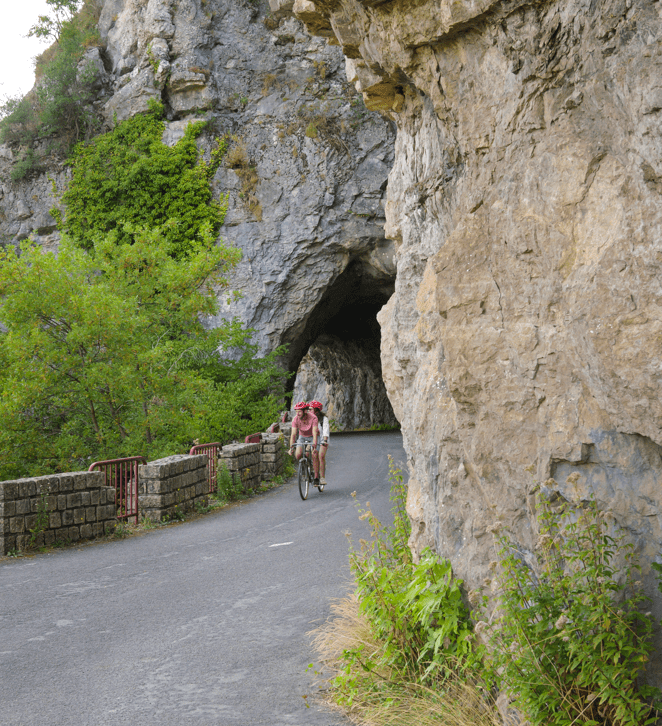
The Aveyron Valley and Gorges cycle route is an itinerary of 85 kilometers between Laguépie and Montauban. For experienced cyclists, this route, which is shared with other users and has no dedicated cycle lane, is signposted to enable you to discover the Aveyron valley and gorges. Along the way, you'll stop off at the medieval villages of Montricoux, Bruniquel, Penne, Saint-Antonin-Noble-Val, Caylus, Varen and Laguépie.

Causses & Gorges de l'Aveyron

By bike

On the Causses and Gorges de l'Aveyron side, you're bound to find a cycling loop to suit your needs.

From 8 to 37 km, you'll find the itinerary to suit you and your level of ability. Discover the Bonnette valley at Caylus and Saint-Antonin, the lands of Rouergue or follow the banks of the Viaur from Laguépie... Take your time to discover the Causses and Gorges de l'Aveyron at your own pace.


Are you tempted? 

11

1

cycling loops

cycle route

green trails
0
blue trails
0
red routes
0
don't miss a thing

Mobile & web app

All our tours

10 results
Choice of background map

Plan IGN France

Aerial photos / IGN

Carte des pentes (Plan IGN France)

Map 1950 / IGN

Staff map (1820-1866)

Open Street Map
Circuit image
20.9 km 2h Moderate
Saint-Antonin-Noble-Val, 82140
Circuit image
37 km 3h Difficult
Saint-Antonin-Noble-Val, 82140
Circuit image
9.8 km 1h30m Difficult
Saint-Antonin-Noble-Val, 82140
Circuit image
23.6 km 3h Moderate
Saint-Antonin-Noble-Val, 82140
Circuit image
10.5 km 1h30m Moderate
Varen, 82330
don't miss a thing

Aveyron Valley & Gorges

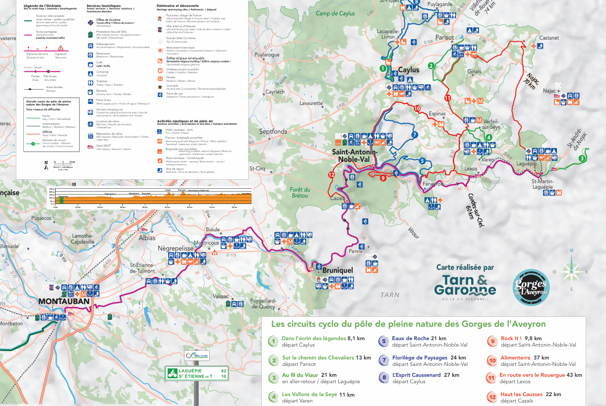
Bicycle route map

Here you'll find a map of the Aveyron Valley & Gorges cycle and cycle-route loops. For each of the 11 loops, you'll find the number of kilometers and level.

Our natural sites

Looking for nature?