Plan IGN France
FERMETURE TEMPORAIRE :
CIRCUIT RANDONNÉE : Le PR3 d’Espinas
CIRCUITS VTT : 59, 61 et 69
Merci de votre compréhension
Causses & Gorges de l'Aveyron is the perfect destination for nature walks. You can choose between short and long itineraries, between loops or round trips and between valleys or causses with panoramic views. You'll be spoilt for choice with over 65 walks and hikes, 2 GR trails and 4 interpretation trails for families.
Visit Causses et Gorges de l'Aveyron is packed with Promenades et Randonnées (PR) trails, some of which have been awarded the Fédération Française de Randonnée label.
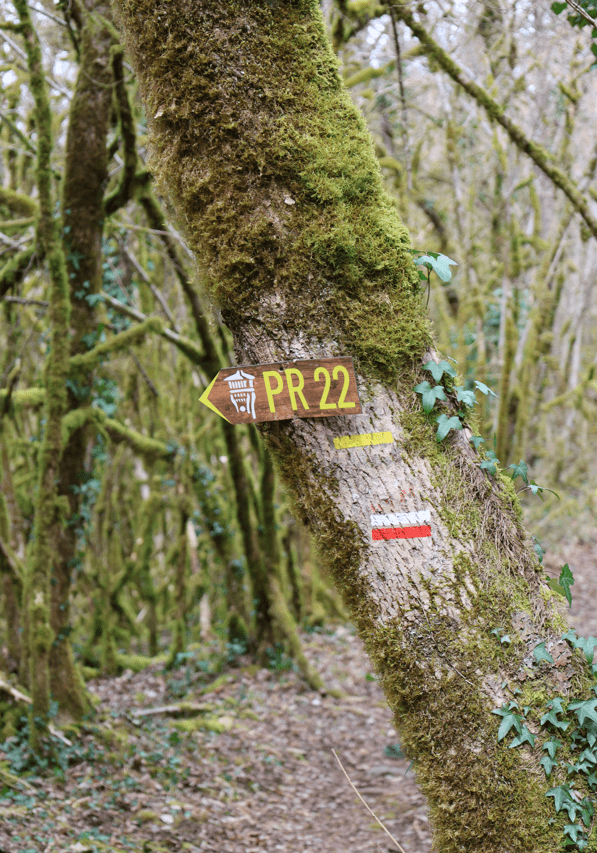
These hiking trails are perfect for discovering the Aveyron Gorges at your own pace. In total, almost 65 routes from 5km to 20km. Each hiking trail is signposted in both directions with yellow paint markings.
If you're hiking in the gorges and valleys you'll appreciate the diversity of the green landscapes and the freshness. If you choose to venture into the causses, you'll appreciate the panoramic views breathtaking.
Take along your guide book, available in our store, to help you find your way around and make sure you don't lose anything during your hike.
Hiking is possible in all seasons, so enjoy it all year round!
over 65
5 à 20


Le village de Varen (Varen : garenne), mérite une attention particulière. C’est un ancien village fortifié (il reste deux portes du XVe et XVIIe siècles) établit dès 971. Le château est du XVe siècle et l’église, ancienne abbatiale apparue au XIe siècle, fait aussi office d’éléments défensifs. Varen fut en fait surtout dirigé par des moines, puis des chanoines, qui furent les véritables seigneurs locaux durant tout le Moyen-Âge. Parcours avec 70% de route
Circuit balisé en jaune
Parking avant l'école de Varen

Plan IGN France

Aerial photos / IGN

Carte des pentes (Plan IGN France)

Map 1950 / IGN

Staff map (1820-1866)

Open Street Map
Après l'école publique, prendre à droite en direction du Puech. Après 500 m, dans le virage, prendre
le sentier à droite et le suivre. Une fois à la route, tourner à gauche et la longer sur 2,1 km jusqu’à Cambou.


A l'entrée du hameau, à la première intersection, prendre la route située à gauche en direction de Quercy. Au premier croisement, continuer tout droit. Arriver au hameau de Ravaille, suivre le chemin en castine sur la gauche, laisser Quercy puis le Pech du Rey.


Arriver à la route au niveau du hameau de Cadiès, se diriger à gauche et longer la route sur 1,6 km
jusqu’à l’école.
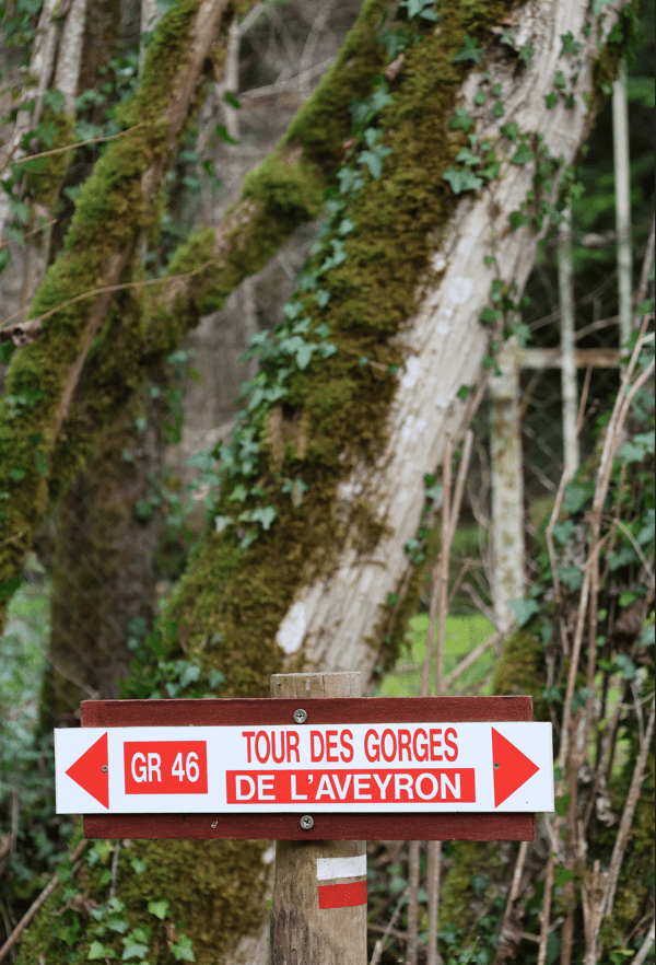
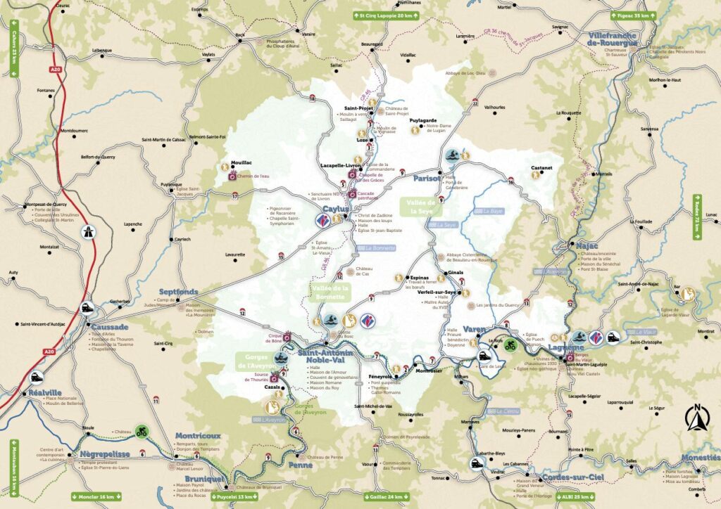
Causses & Gorges de l'Aveyron and more specifically Caylus, Saint-Antonin and Laguépie are crossed by two GR (Grande Randonnée) routes.
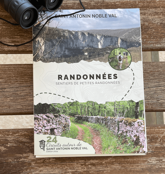
Find out more about the 24 walks and hikes starting from Saint-Antonin in the SAVSA topoguide. Available from our 3 tourist offices.
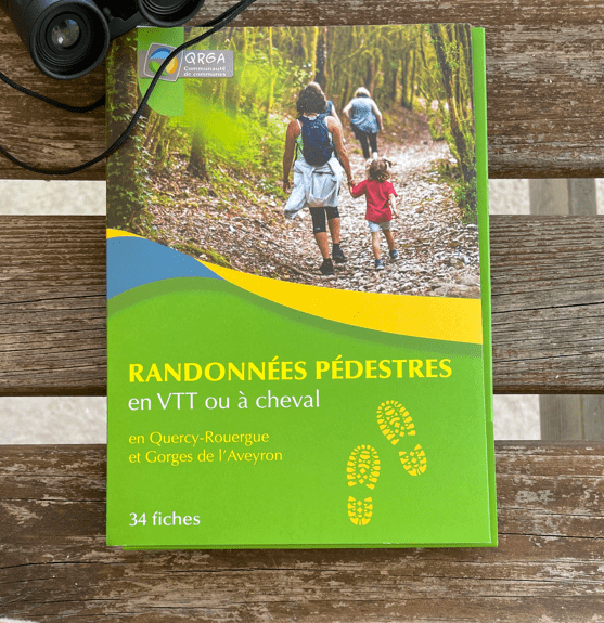
Discover the 34 walks and hikes in the Causses & Gorges de l'Aveyron region. Available from our 3 tourist offices.
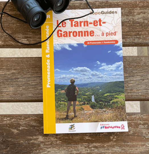
Discover the 40 walks and hikes in the Tarn-et-Garonne guidebook. Available from our 3 tourist offices.
Find out more about the 5 Saint-Symphorien hiking trails. Available from our 3 tourist offices.
Are you looking for a walks for children ? One of our 4 interpretation trails is made for you.
Interpretation trails are fun walking trails with a number of information panels to help you discover the environment. Below you'll find the booklets that will accompany you on your walk.
You can download them directly here or ask for them at one of our three tourist information offices!