IGN map
There are many different ways to walk in the Aveyron Gorges: accompanied by a nature guide, on your own thanks to our walking guides or on the GR for long-distance routes. Along the way, you'll discover the typical landscapes of the region: the cliffs of the Aveyron Gorges, the vegetation of the causses, small heritage sites...
Our must-sees: the Roc Deymié and the cirque de Bône in St-Antonin, the Chemin de la Baye in Verfeil and the Chemin de St-Symphorien in Caylus.
More of a family walk? Follow the Roger le brochet trail around Lac de Parisot, the otter trail in St-Antonin, the Martinet trail in Caylus or the Livron trail in Lacapelle-Livron. These interpretation trails can be consulted here:
For day-long adventurers, the region is full of PR trails offering a variety of landscapes: the Aveyron gorges, the Quercy limestone plateaux, isolated countryside... Take to the trails on foot with our walking information sheets! Tell us what you like and we'll find your ideal walk!
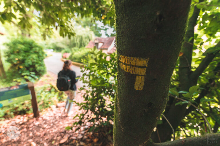
You can recognise them by the yellow markings.


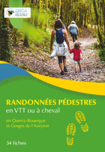
The Communauté de Communes offers you a topoguide with detailed maps of 34 routes, accompanied by numerous photos and descriptive sheets of the signposted itineraries.
On sale at our Tourist Offices.

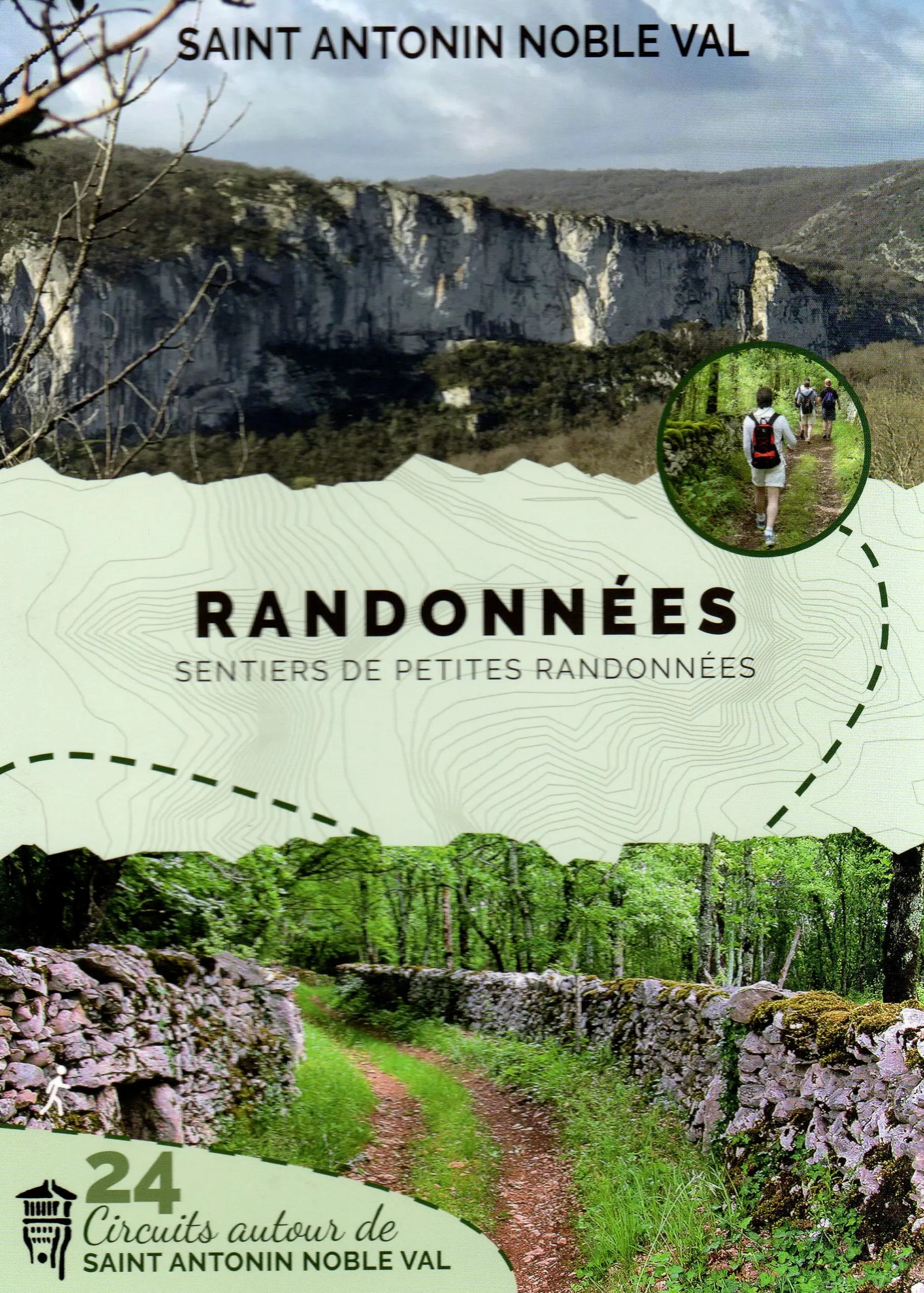
Volunteers from the Société des Amis du Vieux Saint-Antonin are offering a topoguide of 24 signposted walks in the commune of Saint-Antonin-Noble-Val. Each route has its own sheet with a map, information on the landscape, topographical profile, etc.
On sale at our Tourist Offices.


IGN map

Aerial photos / IGN

Map of slopes (IGN map)

Map 1950 / IGN

Staff map (1820-1866)

Open Street Map

A travers champ et bocages, cet itinéraire vous mènera jusqu'aux sources de Caudesaygues, ruisseau aux "eaux chaudes". Espinas se forma au pied d'une tour féodale, où les habitants pouvaient mettre leurs biens à l'abri en cas de danger. Il en reste quelques éléments, appelés "la murette", au centre du village. Tous les ans à lieu la traditionnelle fête de la fenaison, organisée par les comités des fêtes du village. Le bourg se trouve animé par des personnages grandeur nature en paille et qui représentent les métiers que nos paysans exerçaient au temps de la fenaison, tous revêtus de vêtements d'époque authentiques. Parcours avec 55% de route.

Vous découvrirez le terrefort, pays de transition entre le Causse et les terres granitiques du Massif Central. Le paysage est vallonné et la terre, tapissée d'argile, est plus riche et plus profonde que sur le Causse. Elle est par conséquent plus cultivée. C'est donc un paysage agricole où alternent prairies et champs. Sur les pentes les plus fortes, ce sont les bois composés de chênes pubescents, pédonculés, de frênes, de tilleuls, d'ormes et de charmes qui dominent. Parcours avec 65% de route.

This route around Caylus is rich in historical heritage. Ancient Roman roads, stone crosses, dolmens and caves are just some of the vestiges that will enhance your walk through the varied countryside. This trail is suitable for mountain biking, with a slight gradient.

Cette randonnée comporte peu de portions sur route. Elle est difficile, longue et ensoleillée, pour cette raison, nous la conseillons aux bons marcheurs. La faune est riche et peut-être apercevrez-vous un chevreuil ou un gros lézard vert qui peuple le Causse. Randonnée idéale pour découvrir la flore du Causse. Vous alternerez entre prairies, landes et sous-bois. Dans les combes précédant Gagne-Po (Ganha pan : gagne pain), le chemin serpente sous des tonnelles de buis, offrant un instant rafraîchissant au promeneur randonnant en été. A Caylus, la place de la Halle avec les façades et les toitures des immeubles qui la bordent fut classée aux Sites Inscrits. La Halle devint Monument Historique le 16 février 1900. Par la structure et la forme de ses piliers, la Halle appartient à la fin du XVe siècle, début du XVIe. Construite en 1505, primitivement située sur le côté opposé de la place, elle ne comptait que quatorze piliers. Elle a été déplacée et agrandie en 1905. Parcours avec 20% de route.

Cette balade permet d’apprécier le Causse dans sa diversité : prairies, landes à génévriers et bois de chênes se succèdent. On peut fréquemment observer des animaux. Plusieurs hameaux remarquables sont sur cet itinéraire (La Salle, Burguet et Genebrières). À Pech Poujol (potzol : petit puits), se situe un remarquable point de vue sur le Causse, avec la présence d’un moulin à vent. Ce sentier présente la particularité de posséder plusieurs puits, une richesse du Causse. On peut remarquer la présence de puits couverts d’un toit (reservés à l’approvisionnement des habitants) et des puits ouverts (pour abreuver le bétail). Découvrez la mare-lavoir de Genebrière, l’eau était et demeure une ressource précieuse sur le Causse. C’est pourquoi on venait aussi bien abreuver le bétail que laver le linge au même endroit. Les dalles de pierres inclinées en forme de «V» servaient à battre le linge. On les désigne «lavoir-papillon» car elles rappellent les ailes de cet insecte. (Source APICQ) Parcours avec 30 % de route.

Le prieuré de Saint-Symphorien se trouve en partie sur la commune de Caylus (le choeur) et sur celle de Puylaroque (la nef ). L’actuelle église de Saint-Symphorien date du XVe siècle. Elle a été construite sur l’emplacement d’une plus ancienne détruite par la guerre de cent ans. La première fut bâtie au XIIe -XIIIe siècle. Il s’agit d’un ancien prieuré du diocèse de Cahors. La tradition fait remonter la fondation de l'église au début du XIe siècle par les chevaliers de l’Ordre du Temple. Cet édifice, situé à l’écart, surplombe le ruisseau de Sietges. Une fontaine dite «miraculeuse» jaillit entre le prieuré et le cimetière. On lui prêtait des propriétés curatives contre la cécité et le rachitisme des enfants. Le nom de Caylus dérive de castellucium qui signifie le «petit château». Aujourd’hui, Caylus offre aux visiteurs l’agrément de ses paysages et un trésor d’architecture gothique dont les fleurons sont les maisons du bourg, le pavillon Gauléjac, l’église Saint-Jean-Baptiste où l’on peut observer le Christ monumental taillé dans un tronc d’ormeau par Ossip Zadkine, l’un des maîtres incontestés de la sculpture contemporaine ainsi que l’ancien prieuré de Saint-Symphorien. Parcours avec 20% de route.
Follow our trail guides to find out all you need to know about the flora and fauna. locals !
In the event of an anomaly on the paths,
remember to report via the SURICATE platform:
https://sentinelles.sportsdenature.fr/
© All rights reserved - Communauté de communes Quercy-Rouergue & Gorges de l'Aveyron - Terms of use - Legal notice
10 rue de la Pélisserie
82140 Saint-Antonin-Noble-Val
tourisme@cc-qrga.fr
05 63 30 63 47

Project co-financed by the European Agricultural Fund for Rural Development Europe invests in rural areas