Head towards the church and take the path around it. At the road, turn left down towards the valley. After 100 m, follow the path up on the left. At the crossroads, take the path on the right that leads upwards.
will take you to Mas d'Estèbe. Turn right onto the D19.
Take the street towards the château (Grand Rue), then take the second street on the right and go down as far as the Vierge. Turn right, pass the church and then turn left and cross the stream. At the road, D33, turn left.
Take the street towards the château (Grand Rue), then take the second street on the right and go down as far as the Vierge. Turn right, pass the church and then turn left and cross the stream. At the road, D33, turn left.
turn right and go through the hamlet de Pers. At the crossroads, go straight on and then take the track on the right as far as Ferme de l'Igue. Turn right.
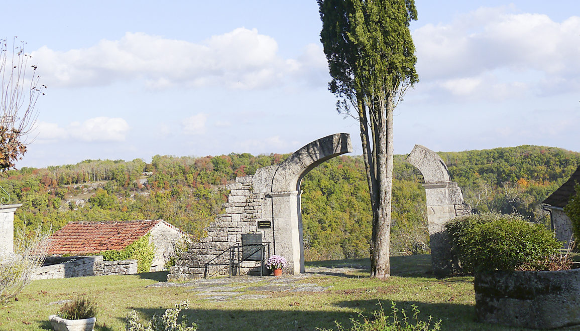
At both intersections, continue straight on. At the fork in the road, leave the central path and turn left to follow the path leading to the ruins of the chapel of St. Caprais.
then, after 100 m, turn left (8) down towards the valley. Turn right onto the D97 and cross the Bonnette bridge. Turn left. At the Luzette mill, turn right onto the path that climbs towards Loze. Then turn right to reach the village.
WP GPX Maps Error: GPX file not found! /var/www/vhosts/causses-gorgesaveyron.com/httpdocs/wp-content/uploads/gpx/loze.gpx
The village of Loze is built at an altitude of 320 m on the edge of a cliff, overlooking the steep valley of the Bonnette, which could be called the Gorges de la Bonnette, as it is so deep, narrow and rugged. Numerous mills line this very fishy stream.
practical information
Situations:
practical information
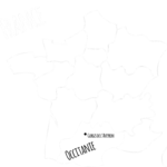
Loze 6 km north of Caylus
PArking:
Village square
To discover
St Martin's church On the whole, the architecture of the church dates from the 19th century. However, the imposing bell tower topped with machicolations is a medieval vestige, rebuilt around 1461 after it was destroyed during the Hundred Years' War. It is a variant of the fortified bell tower.
The chapel of Saint-Caprais It is mentioned in the land register of 1593. Until the Second World War, it was used as a pilgrimage site on 20 October during a procession. The chapel is now in ruins.